U.S. County Maps, GIS Data and Analytics
Explore maps, GIS layers, demographics, analytics and download-ready data for every U.S. county. Use the search, U.S. map and featured previews below to browse county boundaries, zip codes, subdivisions, school districts, business listings and other key data.
Browse Counties by State Map
Hover any state to see county totals, then click to explore state county maps.
County Maps, Imagery, Demographics, Analytics and Everything In Between
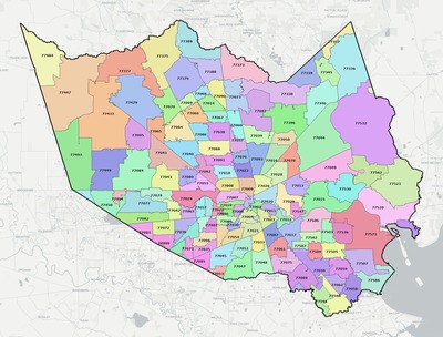
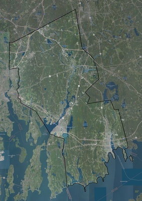
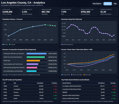
Below are previews of three real county outputs. A zip coverage map, imagery with topo context and analytics views are shown here. Each county package combines export-ready maps, layered GIS files and analysis resources in one organized delivery so your team can move from download to research, planning and decision support without rebuilding baseline data from scratch. Layer coverage spans zip and area code boundaries, subdivisions, school districts, political geographies, roads, water features, points of interest and more.
Millions of County Data Points Available
We provide complete U.S. county coverage with dozens of boundary layers, core metrics, map outputs and analytics assets for every county. GIS and demographic datasets are already joined in a consistent structure and available for download. The totals below show part of the current record scale in our data packages.
Counties Covered
3,143
ZIP Code Boundaries
33,584
School Districts
10,861
County Subdivisions
35,487
Business Listings
15,489,930
Get the Full GIS Data Package at Any Level
The map and search above help you quickly find the right geography. When you need complete deliverables, full data packages are available at National, State, and County levels.
Each package is organized to cut out manual scraping, cleanup, and joins, so your team can move directly into mapping, planning, and analysis.
- GIS layers for boundaries, ZIP codes, subdivisions, school districts, roads, water features, and political geographies
- Map exports in PNG, JPEG, PDF, SVG, and GeoTIFF formats for fast sharing and production workflows
- Population, demographics, school, housing, and trend context aligned across counties and metro regions
- Database-ready files, documentation, and planning assets designed for faster research and implementation
- Coverage options from one county to full national rollups, with consistent structure across all package levels
- Commercial use allowed, with package formats built for analysts, planners, GIS teams, and product builders
Includes GIS layers, maps, demographics, analytics, database files, and planning tools.